From Wikipedia, the free encyclopedia
Location map of Canada
| name
|
Canada
|
| x
|
201.7818903*(((tan(pi*(90-$1)/360))*(((1+0.08181919084*sin(pi*$1/180))/(1-0.08181919084*sin(pi*$1/180)))^0.04090959542))^0.9007900864)*sin(0.01572175288*($2+95))+43.98563734
|
| y
|
238.6252927*(((tan(pi*(90-$1)/360))*(((1+0.08181919084*sin(pi*$1/180))/(1-0.08181919084*sin(pi*$1/180)))^0.04090959542))^0.9007900864)*cos(0.01572175288*($2+95))-15.81495465
|
| image
|
Canada location map 2.svg
|

|
| image1
|
Canada relief map 2.svg
|

|
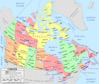 Map of Canada
Module:Location map/data/Canada
is a location map definition used to overlay markers and labels on a
Lambert conformal conic projection
map of
Canada
. The markers are placed by
latitude
and
longitude
coordinates on the default map or a similar map image.
Usage
These definitions are used by the following templates when invoked with parameter "Canada":
Map definition
name
 = Canada
- Name used in the default map caption
image
 =
Canada location map 2.svg
- The default map image, without "Image:" or "File:"
image1
 =
Canada relief map 2.svg
- An alternative map image, usually a relief map, which can be displayed via the
relief
or
AlternativeMap
parameters
x
 = 201.7818903*(((tan(pi*(90-$1)/360))*(((1+0.08181919084*sin(pi*$1/180))/(1-0.08181919084*sin(pi*$1/180)))^0.04090959542))^0.9007900864)*sin(0.01572175288*($2+95))+43.98563734
- An expression to calculate a location on the map via its
longitude
; evaluates as 0 along the left edge and 100 along the right edge
y
 = 238.6252927*(((tan(pi*(90-$1)/360))*(((1+0.08181919084*sin(pi*$1/180))/(1-0.08181919084*sin(pi*$1/180)))^0.04090959542))^0.9007900864)*cos(0.01572175288*($2+95))-15.81495465
- An expression to calculate a location on the map via its
latitude
; evaluates as 0 along the top edge and 100 along the bottom edge
Alternative map
The
{{
Location map
}}
,
{{
Location map many
}}
, and
{{
Location map+
}}
templates have parameters to specify an alternative map image. The map displayed as
image1
can be used with the
relief
or
AlternativeMap
parameters. Examples may be found below or in the following:
Examples using location map templates
Location map, using default map (image)
{{Location map | Canada
| width   = 250
| lat_deg = 45.42
| lon_deg = -75.7
| label   = Ottawa
}}
Location map many, using relief map (image1)
{{Location map many | Canada
| relief   = yes
| width    = 250
| caption  = Two locations in Canada
| lat1_deg = 45.42
| lon1_deg = -75.7
| label1   = Ottawa
| lat2_deg = 49.25
| lon2_deg = -123.1
| label2   = Vancouver
}}
Location map+, using AlternativeMap
{{Location map+ | Canada
| AlternativeMap = Canada_blank_map.svg
| width   = 250
| caption = Two locations in Canada
| places  =
  {{Location map~ | Canada
  | lat_deg = 45.42
  | lon_deg = -75.7
  | label   = Ottawa
  }}
  {{Location map~ | Canada
  | lat_deg = 49.25
  | lon_deg = -123.1
  | label   = Vancouver
  }}
}}
See also
Location map templates
Creating new map definitions
